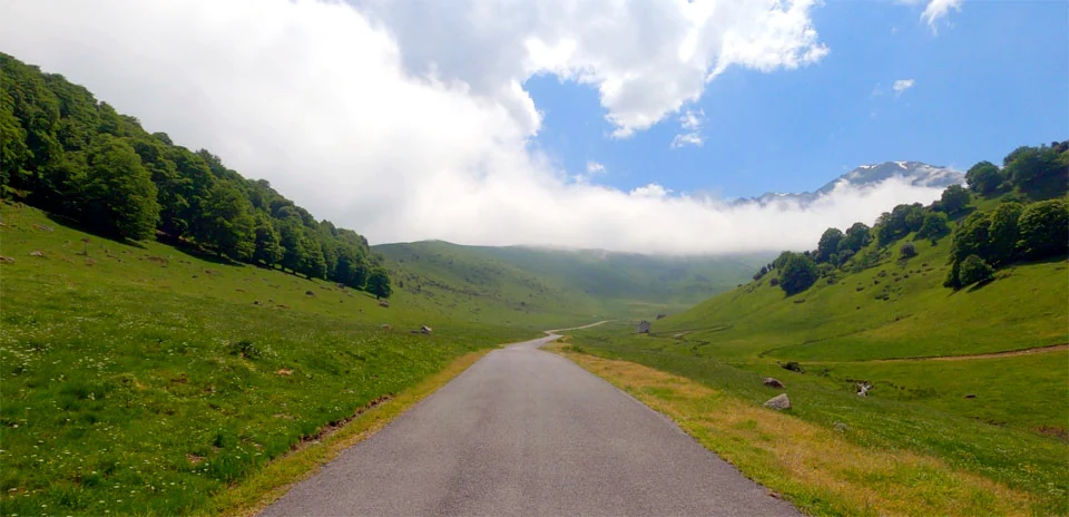
La Hourquette d’Ancizan (North side)
Distance: 22.48 km
Elevation Gain: 787 m
Elevation Loss: 485 m
Difficulty:
566 (Moderate)
FIETS Index: 3.10 FIETS
Avg Grade: 4.30 %
Max cat climb: 1
Min elevation: 847 m
Max elevation: 1567 m
Ride Category:
Climb
Ride La Hourquette d’Ancizan (North side) on your smart trainer
Real video of real roads, synced to your smart trainer: the resistance follows the road.
14 days free, no credit card.
The Hourquette d’Ancizan, 1,564 m up in the Hautes-Pyrénées of France, links the Payolle valley with the Aure valley. Its name comes from ‘hourquette’, Gascon for a small fork, which appears in many Pyrenean pass names. The Tour de France first crossed it in 2011, and since 2016 the race has climbed this side three times. In 2024 the stage from Pau crossed the Tourmalet, climbed the Hourquette from here and finished at Pla d’Adet, where Tadej Pogacar won.
This ride starts at Sainte-Marie-de-Campan and climbs the Campan valley through La Séoube to the Payolle plateau. Marble from the Espiadet quarry nearby, worked from Roman times until 1986, went into the Grand Trianon at Versailles. At Payolle the ride leaves the road to the Col d’Aspin and climbs across open pasture to the Hourquette. It ends on the descent above Ancizan, in the Aure valley.