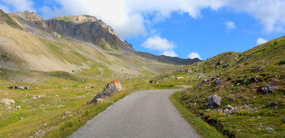
Col du Granon
Distance: 10.32 km
Elevation Gain: 957 m
Elevation Loss: 0 m
Difficulty:
943 (Hard)
FIETS Index: 8.87 FIETS
Avg Grade: 9.27 %
Max cat climb: HC
Min elevation: 1448 m
Max elevation: 2405 m
Ride Category:
Epic Climb
The Col du Granon is a high mountain pass situated in the Cottian Alps within the Provence-Alpes-Côte d’Azur region of southeastern France. Positioned north-northeast of Briançon, the pass connects the Guisane valley to the west with the Nevache valley to the east, though the paved surface terminates at the summit. The location is strategically significant due to its elevation and commanding views of the Meije and Écrins massifs to the south and west. During the 20th century, the military constructed extensive fortifications and access roads in the surrounding heights to monitor the border regions, leaving a legacy of infrastructure that remains partially integrated into the modern pass.
This ascent serves as a premier destination for high-altitude cycling, characterized by a narrow, steep track through an open, sun-exposed landscape. Its professional prestige is anchored by the Tour de France, most notably during the 1986 edition where it hosted the highest mountain finish in the race’s history at that time. During that event, the climb became the site of a major shift in leadership as Greg LeMond took the yellow jersey from Bernard Hinault. The pass returned to the global spotlight in 2022 during Stage 11, serving as the venue for a decisive tactical maneuver by Team Jumbo-Visma. Jonas Vingegaard launched a final attack with approximately 4.5 km remaining, successfully distancing the previous leader, Tadej Pogacar, who conceded nearly three minutes by the summit. This performance resulted in Vingegaard claiming the yellow jersey and ultimately securing his first overall victory in the general classification.