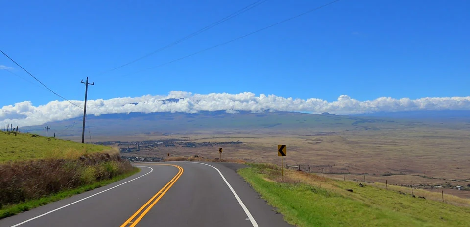
Kohala Volcano Loop
Distance: 74.87 km
Elevation Gain: 1231 m
Elevation Loss: 1231 m
Difficulty:
820 (Hard)
FIETS Index: 4.39 FIETS
Avg Grade: 4.27 %
Max cat climb: HC
Min elevation: 33 m
Max elevation: 1080 m
Ride Category:
Hilly
North Kohala, on the Island of Hawaii, USA, has two roads. Kohala Mountain Road, known as the High Road, crosses the mountain through ranch land, and the Akoni Pule Highway follows the coast. The coast road is named after the legislator who pushed for it as a safer route than the narrow, winding High Road, and it was dedicated in 1973. Since the Ironman moved to the Big Island in 1981, its bike leg has used the coast road to the turnaround at Hawi.
The loop starts in Hawi, a Kohala Sugar Company town until 1975, and climbs the High Road to 1,080 m. It drops to the junction west of Waimea, then descends Kawaihae Road from the wet uplands to the dry coast. Across the mountain, rainfall ranges from over 150 inches a year near the summit to under 5 on the shore. At Kawaihae the road passes below Pu‘ukohola Heiau, built by hand by Kamehameha I in 1790–91. The ride returns north to Hawi on the Ironman road.