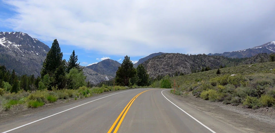
June Lake to Mono Lake
Distance: 26.92 km
Elevation Gain: 134 m
Elevation Loss: 369 m
Difficulty:
106 (Easy)
FIETS Index: 0.07 FIETS
Avg Grade: -0.99 %
Max cat climb: 5
Min elevation: 2072 m
Max elevation: 2319 m
Ride Category:
Flat
Ride June Lake to Mono Lake on your smart trainer
Real video of real roads, synced to your smart trainer: the resistance follows the road.
14 days free, no credit card.
The June Lake Loop, State Route 158, runs through a horseshoe-shaped glacial canyon on the east side of the Sierra Nevada, in California, USA. Much of the valley’s water ends up far away. In 1941 Los Angeles extended its aqueduct into the Mono Basin, taking water from Rush Creek at Grant Lake. By 1990 Mono Lake had dropped 45 feet, and in 1994 the state ordered the lake raised again.
This ride starts at Reversed Creek, which flows back towards the mountains, and passes the Rush Creek power station and Silver Lake. It runs along Grant Lake and joins US 395 north towards Lee Vining, founded as a mining camp by Leroy Vining in 1852. The ride ends at the junction with SR 120, where the Tioga Road starts its 19 km climb to Tioga Pass, at 3,031 m the highest highway pass in California.