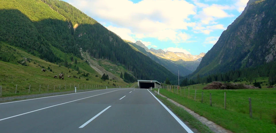
Felbertauern (North side)
Distance: 15.45 km
Elevation Gain: 819 m
Elevation Loss: 0 m
Difficulty:
566 (Moderate)
FIETS Index: 4.34 FIETS
Avg Grade: 5.30 %
Max cat climb: HC
Min elevation: 790 m
Max elevation: 1608 m
Ride Category:
Climb
The Felbertauern road climbs from Mittersill, in Salzburg, Austria, to the tunnel under the Hohe Tauern. It is named after the Felber Tauern pass, which linked the Felbertal with the Tauern valley in Roman times. Celts, Romans and Carolingians all used the crossing, and trade by horse and mule peaked in the Middle Ages. The Tour of Austria has used this side, with its ramps of up to 12%, as a first-category climb on its stages from Kitzbühel to Prägraten in 2011 and 2018.
The ride starts in Felben, by the Felberturm, a 12th-century tower of the lords of Felben, who controlled the route. The tower has been a local museum since 1969. The road then climbs the almost empty Felbertal, where Europe’s largest deposit of tungsten ore was found in 1967. To gain height the road loops into the Amertal, a side valley, and the ride ends at the north portal of the tunnel. Bicycles are not allowed inside, but a shuttle carries them through to the south side.