Sierra de la Pandera
Distance: 27.69 km
Elevation Gain: 1314 m
Elevation Loss: 210 m
Difficulty:
1115 (Very Hard)
FIETS Index: 6.29 FIETS
Avg Grade: 5.18 %
Max cat climb: HC
Min elevation: 599 m
Max elevation: 1814 m
Ride Category:
Epic Climb
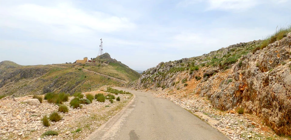
Dominating the skyward boundary of the Sierra Sur de Jaén, the ascent to La Pandera climbs through the Subbaetic System of the Baetic Depression to terminate at a former military radar installation at an elevation of 1,872 meters (6,142 feet). Approached via the narrow, exposed tarmac linking Valdepeñas de Jaén and Los Villares, the road cuts across steep Jurassic limestone ridges and stark, wind-scoured escarpments that drop away toward the dense olive groves of the Guadalquivir basin. Approaching the upper reaches, the pitch ramps sharply onto severe 13% to 15% gradients, navigating a succession of unshaded switchbacks where riders are fully exposed to thermal shifts and intense southern sun. The narrow summit dead-end opens onto a high-altitude vantage point offering uninterrupted panoramas stretching from the Jaén highlands south toward the snow-capped massif of the Sierra Nevada.
Geologically shaped by complex alpine folding, thrust faulting, and deep karstic erosion, the mountain’s pale, barren crest forms the highest geographic point in the Sierra Sur range. Originally built to provide access to a strategic cold-war military outpost, the single-lane road was integrated into modern professional cycling in 2002 as a decisive high-mountain finish for the Vuelta a España. Serving as a pivotal mountain stage in multiple editions of the Spanish Grand Tour, the climb has repeatedly reshaped the race’s general classification, with stage victories claimed by general classification contenders including Roberto Heras, Alejandro Valverde, and Richard Carapaz. Today, the summit path stands as one of Andalucia’s most demanding paved ascents, drawing endurance riders directly from the lower agricultural valleys into the desolate upper environment of the Baetic mountain chain.