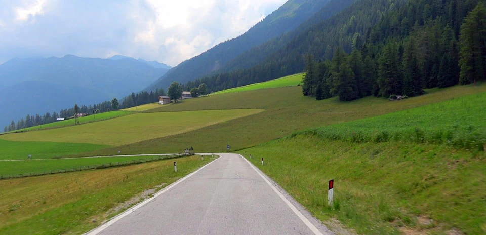
Val Sarentino
Distance: 40.64 km
Elevation Gain: 11 m
Elevation Loss: 1735 m
Difficulty:
123 (Easy)
FIETS Index: 0.00 FIETS
Avg Grade: -4.24 %
Max cat climb: 5
Min elevation: 490 m
Max elevation: 2214 m
Ride Category:
Flat
Ride Val Sarentino on your smart trainer
Real video of real roads, synced to your smart trainer: the resistance follows the road.
14 days free, no credit card.
A ride down the Sarntal, or Val Sarentino, in South Tyrol, Italy, passes through a valley that winter all but sealed off for centuries. The Sarntal Alps close around it in a horseshoe. Its municipality is the largest in South Tyrol by area. Cut off for months at a time, the valley kept traditions that have faded elsewhere: knitting the dense woollen Sarner Janker jacket, carving pipes, and embroidering leather with peacock-feather quills. For those quills the farms kept peacocks, which also served as noisy guards against strangers.
This ride descends the SS508 from the Penser Joch, the most direct road from Innsbruck and Sterzing to Bolzano and a pass that closes in winter. Its north side climbs about 1,270 metres in 16 km from Sterzing. Below the pass the ride runs through Pens and Weissenbach to the main village, Sarnthein, and on down the valley beside the Talfer. The river flows about 45 km to meet the Eisack in Bolzano. Lower down, the road enters the Talfer gorge and threads a long series of tunnels cut into the rock. It finishes just north of Bolzano, a few kilometres short of Runkelstein Castle, famous for its medieval frescoes.