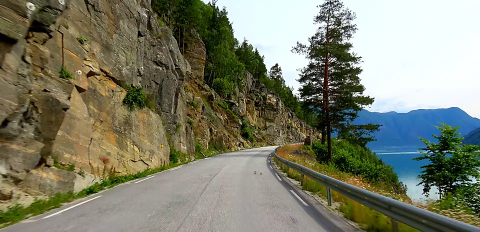
Sognefjord to Skjolden
Distance: 24.51 km
Elevation Gain: 142 m
Elevation Loss: 132 m
Difficulty:
91 (Easy)
FIETS Index: 0.08 FIETS
Avg Grade: 1.33 %
Max cat climb: 5
Min elevation: 9 m
Max elevation: 70 m
Ride Category:
Flat
Ride Sognefjord to Skjolden on your smart trainer
Real video of real roads, synced to your smart trainer: the resistance follows the road.
14 days free, no credit card.
The Sognefjell road, one of Norway’s official National Tourist Routes, covers 108 km from Gaupne on the Sognefjord over the mountains to Lom, reaching its highest point at 1,434 metres at Fantesteinen. Promoted as a cycling route, it also forms part of National Cycle Route 6, which links the World Heritage towns of Bergen and Røros.
Departing Gaupne at the head of the Gaupnefjord, this ride crosses the Nes headland to Høyheimsvik before following the Lustrafjord to Skjolden. Near the start stands Gaupne’s 17th-century timber church, built with planks salvaged from a medieval stave church and carved with dragons and serpents. Further along the fjord at Luster, the stone church at Dale, traditionally dated to 1250, keeps its Gothic portal. The ride ends in Skjolden at the very end of the fjord, where the road begins its long, steep climb into the Sognefjellet range.