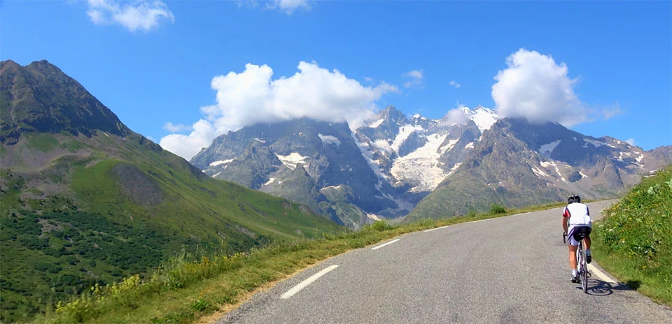
Col du Lautaret and Col du Galibier (South side)
Distance: 27.07 km
Elevation Gain: 1233 m
Elevation Loss: 0 m
Difficulty:
767 (Hard)
FIETS Index: 5.62 FIETS
Avg Grade: 4.56 %
Max cat climb: HC
Min elevation: 1386 m
Max elevation: 2619 m
Ride Category:
Epic Climb
Ride Col du Lautaret and Col du Galibier (South side) on your smart trainer
Real video of real roads, synced to your smart trainer: the resistance follows the road.
14 days free, no credit card.
The southern road to the Col du Galibier climbs from Serre Chevalier over the Col du Lautaret, in the Hautes-Alpes of France. In 2011, a hundred years after the Tour de France first crossed the Galibier, the race finished on the summit for the first time, its highest finish ever; Andy Schleck attacked on the Izoard 60 km out and won alone. In 2024 the Tour came up this side again, and Tadej Pogacar attacked 800 m from the top, led over the pass and won in Valloire, taking the yellow jersey.
This ride starts at Villeneuve and climbs the Guisane valley to Le Monêtier-les-Bains, named after a monastery founded in 1020. The village’s hot spring, at 37 °C, still feeds its baths. The road then reaches the Col du Lautaret, on the line of a Roman road; beside the pass, the university’s alpine garden has grown mountain plants since 1899. From there the road turns north for the last 8 km, past the monument to Henri Desgrange, to the summit.