Lac de Cap-de-Long Loop

Aragnouet, Occitanie, France
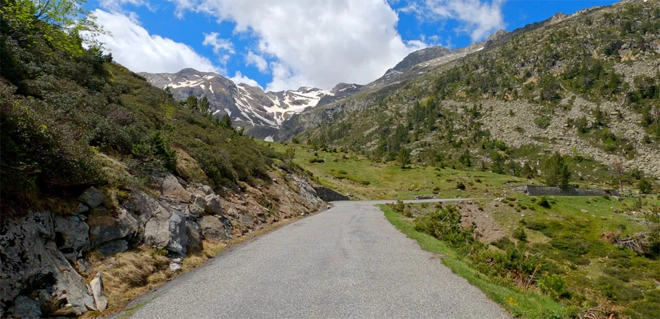
 Lac de Cap-de-Long Loop
Distance: 7.35 km
Elevation Gain: 324 m
Elevation Loss: 324 m
Difficulty:
347 (Easy)
FIETS Index: 2.65 FIETS
Avg Grade: 8.49 %
Max cat climb: 3
Min elevation: 1861 m
Max elevation: 2174 m
Ride Category:
Climb
The Lac de Cap-de-Long, at the end of the Route des Lacs above Saint-Lary in the Hautes-Pyrénées, France, is held back by EDF’s 101 m arch dam. The lake is the second-largest reservoir in the French Pyrenees, after Lanoux. It takes its name from its place at the head of the valley below Pic Long, at 3,192 m the highest summit of the Néouvielle massif.
This ride starts beside Lac d’Orédon, on the edge of the Néouvielle nature reserve. Created in 1935, the reserve is one of the oldest in France, and its mountain pines grow as high as 2,600 m, a European altitude record. The road climbs in hairpins to the Cap-de-Long dam, and the ride then turns back down to Orédon.
| Rank | Rider | Date | Time | Power | W/kg | Speed |
|---|---|---|---|---|---|---|
| 🥇 | Tristan Kramers | Mar 31, 2026 | 00:17:48 | 317 W | 4.40 w/kg | 24.58 km/h |
| 🥈 | Tom Smeets | Jul 22, 2024 | 00:17:57 | 318 W | 4.36 w/kg | 24.37 km/h |
| 🥉 | Sebastian Meyer zu Selhausen | Nov 02, 2025 | 00:20:47 | 282 W | 3.20 w/kg | 21.05 km/h |
| 4 | D Speelman | Jan 31, 2026 | 00:21:22 | 266 W | 3.41 w/kg | 20.47 km/h |
| 5 | Chris | Dec 09, 2025 | 00:23:27 | 213 W | 2.85 w/kg | 18.66 km/h |
| 6 | Christopher Epo | Oct 24, 2025 | 00:24:05 | 233 W | 2.71 w/kg | 18.16 km/h |
| 7 | Rémy Jouanne | Oct 22, 2025 | 00:24:23 | 187 W | 3.17 w/kg | 17.94 km/h |
| 8 | JJosef Kluson | Nov 30, 2025 | 00:24:26 | 206 W | 2.75 w/kg | 17.90 km/h |
| 9 | Przemysław Ceglarek | Oct 28, 2025 | 00:25:07 | 216 W | 2.88 w/kg | 17.42 km/h |
| 10 | Gino Pino | Jan 29, 2026 | 00:25:30 | 176 W | 2.71 w/kg | 17.16 km/h |
Users who liked this also liked
| Ride Name | Dist (km) | Elev (m) | Diff | Pop | Rating |
|---|---|---|---|---|---|
| Col du Corbier (West side) | 13.61 | 493 | 4.06 | 81 | 4.68 |
| Las Brenas Loop | 21.66 | 511 | 1.70 | 85 | 4.60 |
| Volcano Atalaya de Fémes | 10.93 | 343 | 1.92 | 88 | 4.53 |
| Coll d’en Claret from Canonge | 14.84 | 510 | 2.59 | 113 | 4.72 |
| Sierra de Cabo de Gata | 15.57 | 239 | 0.98 | 50 | 4.75 |